

Bottom Line
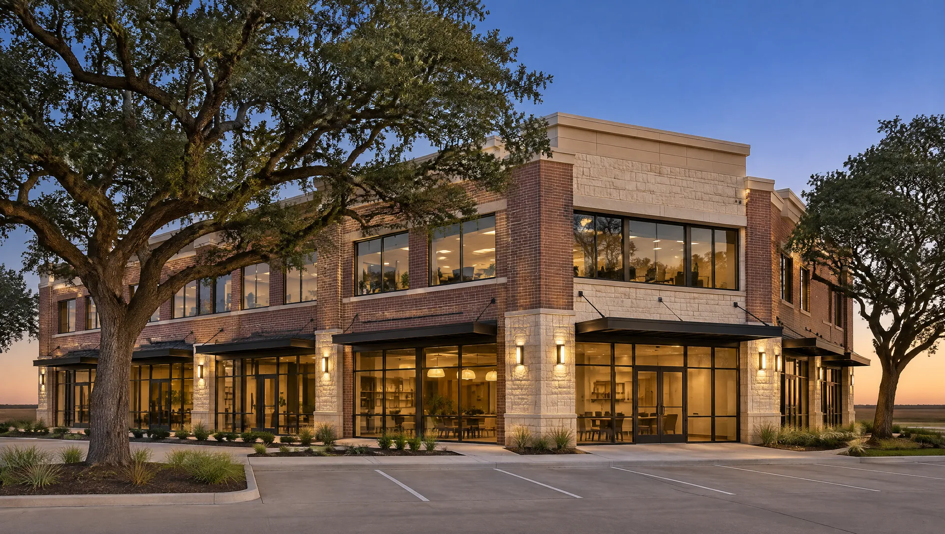
The proposed 16,000 sq ft, two-story retail-office building appears to fit within the E (Neighborhood Commercial) district’s staff-transcribed parameters: a 3-story/45-foot height cap, and retail footprints well under the 60,000 sq ft prohibition. 100 feet is the assumed width of this demonstration parcel, not an E-district minimum; § 4.901(c) does not set a minimum lot width. Based on the transcribed dimensional standards, the project is likely allowable by right, subject to site plan review and building permit, with no discretionary zoning change expected. The binding constraints are the 20-foot front setback (0 ft only if the lot fronts an arterial), the 10–15-foot rear yard, the 5-foot residential side yard, parking at 1 space per 250 sq ft (retail) and 1 per 400 sq ft (office), which on the stated square footage yields roughly 32 + 20 = 52 spaces before any reductions, and the 10% landscaping requirement. Entitlement risk is rated Low, provided the lot is confirmed not to carry an overlay, Planned Development, or historic designation. You must verify the official zoning map for overlays, confirm the street classification, confirm adjacency to residential zoning, and confirm current parking and bufferyard provisions against the live ordinance before relying on this analysis.
Permitted and Conditional Uses
- Permitted by right (E, per § 4.901 purpose): neighborhood-serving retail, general office, professional services, and institutional uses consistent with the stated purpose. Ground-floor retail and second-floor office as proposed should fall within this category.
- Prohibited: retail stores with a footprint exceeding 60,000 sq ft (not triggered here).
- Conditional/specific-use items: not identified in the transcribed notes for this program. Verify the full E use table, since any drive-through, fuel, auto-oriented, or late-hours use would need separate review.
- Telecom: stealth towers 60 ft; other towers 45 ft by Board of Adjustment special exception (not relevant to this proposal unless rooftop equipment is added).
Density and Dimensional Parameters
| Parameter | Standard (transcribed) | Project Application |
|---|---|---|
| Height | 3 stories / 45 ft max | 2 stories, ~28–32 ft: compliant |
| FAR | Not in transcribed dataset: verify | ~16,000 sq ft / 17,400 sq ft ≈ 0.92 (informational) |
| Units/acre | N/A (no residential) | N/A |
| Front setback | 20 ft; 0 ft if arterial (§ 4.901(c)); possible projected front yard (§ 6.101(f)) | Confirm street classification |
| Rear setback | 10 ft; 15 ft if adjacent to residential | Confirm adjacency |
| Side setback | 5 ft if adjacent to residential; none otherwise; any provided side yard ≥ 3 ft | Confirm adjacency |
| Parking | Retail 1/250 sf; office 1/400 sf (§ 4.901(d)(1)) | ~32 retail + ~20 office = ~52 spaces (before any shared-parking or reduction) |
| Landscaping | ~10% of net site area (§ 6.300) | ~1,740 sq ft required; verify net-area definition |
Lot-coverage and FAR limits are not in the transcribed dataset and must be checked. Parking on a 17,400 sq ft lot with a 16,000 sq ft building will be the most constraining element: 52 spaces plus drive aisles and landscaping may not physically fit on a 0.40-acre mid-block lot, and a parking reduction, shared-parking agreement, or on-street credit may be needed.
Required Approvals
- Zoning confirmation letter or verification (recommended pre-application)
- Site plan review and approval (staff level, typically)
- Building permit and certificate of occupancy
- Landscape plan approval (§ 6.300)
- Facade review: metal-building facade standards apply if metal is used
- Possible: parking reduction or variance to the Board of Adjustment if spaces cannot be provided on-site
- Possible: bufferyard compliance if adjacent to residential (§ 6.300)
- Possible: Planned Development (PD) rezoning only if the program or dimensions cannot meet E standards (not expected)
Entitlement Pathway
- Pre-application meeting with Fort Worth Development Services to confirm zoning, overlays, and street classification.
- Survey and site plan preparation showing setbacks, parking count, landscaping, and access.
- Submittal for site plan and building permit review.
- Staff review cycles and corrections.
- Permit issuance; construction.
If the parking count cannot be met on-site, add a Board of Adjustment variance or parking-reduction step, which materially increases timeline and risk.
Realistic Timeline (Estimate, Not Verified)
- Pre-application and due diligence: 2–4 weeks
- Site plan and permit preparation: 6–10 weeks
- City review (staff, if no variance): roughly 2–4 months, depending on submittal volume and correction cycles
- If a Board of Adjustment variance is required: add roughly 2–4 months for notice and hearing
- Total to permit (by-right path): approximately 4–6 months; with variance: approximately 6–9 months. These are planning estimates only.
Estimated Entitlement Cost
These are order-of-magnitude planning estimates. They are not official City fee schedules, which must be confirmed directly with Fort Worth Development Services.
- Survey, civil engineering, and site plan: approximately $25,000–$50,000
- Architecture (schematic through permit set): approximately $60,000–$120,000
- Landscape design: approximately $5,000–$10,000
- Land-use attorney or consultant (if variance): approximately $10,000–$25,000
- City application and permit fees: unverified; obtain from City
- Board of Adjustment fees (if applicable): unverified; obtain from City
Entitlement Risk Rating: LOW
Justification: The use is consistent with E’s stated purpose, the height and footprint are well within limits, and no discretionary rezoning is expected. Risk rises to Medium if parking cannot be met on-site or if the lot is adjacent to residential and bufferyard compliance is constrained. Risk rises to High or Very High if an overlay (CB-, NS-, BU-), historic designation, or PD is discovered, since those carry additional design review or rezoning requirements.
Neighbor Opposition Risk
Assessed as Low to Medium. A small neighborhood retail-office building at two stories is generally compatible with neighborhood commercial character. Typical concerns would center on parking spillover onto residential streets, traffic and delivery operations, lighting, hours of operation, and the metal-building facade. Early outreach to adjacent residents and any neighborhood association is recommended, and the parking plan is the most likely point of contention.
Unverifiable Items (Must Confirm Locally)
- Official zoning map: confirm no CB-, NS-, BU-, historic, or PD overlay applies.
- Street classification: confirm whether the lot fronts an arterial (0 ft front setback) or a local/collector street (20 ft).
- Adjacency: confirm whether any side or rear lot line abuts a residential district (affects setbacks and § 6.300 bufferyards).
- Current § 4.901 and Chapter 6 text, including any amendments after the 2026-11-01 transcription date.
- FAR and lot-coverage limits for E (not in the transcribed dataset).
- Parking: confirm current § 6.200 counts, any mixed-use or shared-parking provisions, and eligibility for reductions.
- Landscaping net-area definition and any bufferyard width requirements under § 6.300.
- Metal-building facade standard specifics.
- All City application, permit, and Board of Adjustment fees.
- Lot access (alley or side-drive) and whether it meets driveway and fire-access standards.
Texas SB 840 (89th Legislature, 2025) addresses by-right residential in certain commercial districts and is not the operative path for this non-residential proposal. It would become relevant only if a residential component were added.
This memo is a planning-level analysis for a demonstration parcel and is not legal advice. Confirm all findings with the City of Fort Worth and a licensed local land-use attorney before relying on them.